Your cart is empty
Start shopping to add items to your cart
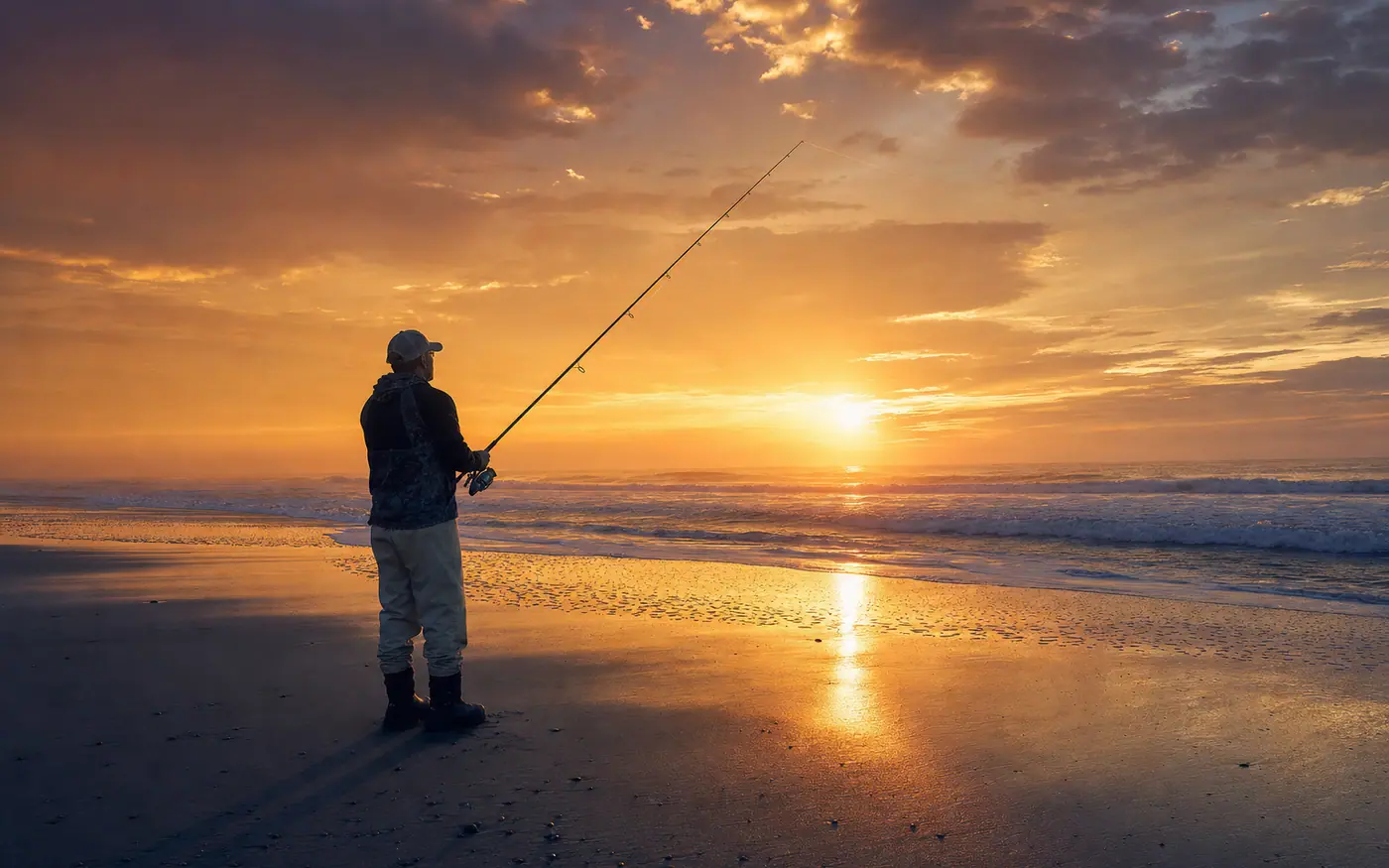
Access-point cards
One card per access point: the point at Buxton, the inlets, the piers, and the drivable beach between them. Each one carries a season table for that spot, the permit and air-down facts, and today's call from the buoys.
South to north, from Cape Point to the sound shore. Start with Cape Point if you are here for the fall run.
CAPE POINT
Start hereThe point at Buxton is the best surf drum fishing on the East Coast when the fall run is on. It is also 4WD sand that moves after every storm, and a mile of soft sand on foot when the beach is closed to trucks.
HATTERAS INLET
The inlet is where the sound empties into the ocean, and everything moving between them has to pass through. Current, cobia, and a beach that changes shape with the shoals.
FRISCO PIER
A pier on the south end that fishes the same sloughs the beach does, with a rail and a light over the water instead of a cold walk. Good bottom fishing and a shot at Spanish on a running tide.
ORV RAMPS 34-55
The drivable beach between Avon and Hatteras Inlet, a run of ramps with sloughs behind every bar. This is where a 4WD earns its keep: point the truck at a cut, park above the tide line, and fish the water in front of you.
AVON PIER
The pier at Avon reaches past the bar into deeper water, which is why it holds fish on days the open beach is slow. Spanish on the end in summer, bottom fish on the rail all season.
RODANTHE PIER
Rodanthe sits on the narrow neck of the island where the ocean and the sound are close together. The pier fishes the ocean side, with a steady bottom bite and a shot at Spanish in the warm months.
OREGON INLET
The inlet that cuts the Banks north of Hatteras, with a rock jetty, a strong tide, and a winter striped bass run that draws a crowd. Fish the jetty on slack, or the beach on either side of it.
PAMLICO SOUND SHORE
The sound side of Hatteras Island is shallow, grassy, and wadeable, and it is where puppy drum, trout, and flounder live all year. No permit, no 4WD, just a short walk into the flats.
Three layers, all checkable. The season table and the access notes are written down. The call at the top reads the buoy.
Layer 1
A species-by-season table for this one spot, not the whole island. The point and the sound side do not fish the same month, and the card says so.
Layer 2
Walk, 4WD, or a pier fee. Whether you need an ORV permit, and how far to air down before the sand decides for you.
Layer 3
The buoy off Avon turns todays sea into a call for this spot: fish it, drive it, or leave the truck parked and fish the sound.
The other half of the engine
The access cards say where to stand. The month pages say what is swimming past. Twelve static pages, one per month, drawn from the same species data as the catch cards.
Updated Oct 30, 2026